Maps of the Local Area
Bottisham, being a countryside village, has numerous short walks within the village and many longer walks which lead into neighbouring villages including Lode, Stow-cum-Quy and the Swaffhams’ passing by village pubs and just exploring open countryside. On a beautiful sunny day or a crisp wintery day whatever the weather you can enjoy a walk-through unspoilt fields and fens around Cambridge, along the banks of Quy Water and Little Wilbraham River, walk past a windmill, a watermill, country pubs and go take in the gardens of Anglesey Abbey. There’s routes full of contrasts: busy roads and quiet waterways, sprawling fields and landscaped parks and further out towards Wicken wild marshland.
Whatever your preference there are a number of walks and cycle routes around the vicinity of the beautiful village of Bottisham.
There are walking groups in the village who organise group walks of different types and abilities. In addition, there is a group who meet called Walking for Health who organise led walks all run by volunteers. There is a walk around Anglesey Abbey and if you wish to participate, they meetThursdays at 10am at the bike racks at the back of the garden centre at Anglesey Abbey. For further information about these walks at Anglesey Abbey, please contact:s.j.gilson@btinternet.com
The Ordnance Survey also have a tool called OS Maps – this is a great tool for creating routes, planning activities and trips; whilst the OS Maps app is perfect for when you're out and about, for finding and following routes as well as storing back-up offline maps on your mobile device. OS Maps is available on a website and as an app. Their website address can be found here
https://explore.osmaps.com/en?lat=52.222909&lon=0.256787&zoom=15.2766
Other useful links
https://getoutside.ordnancesurvey.co.uk/local/bottisham-east-cambridgeshire
https://www.bing.com/maps/?cp=52.224132~0.260654&lvl=14&where1=Bottisham
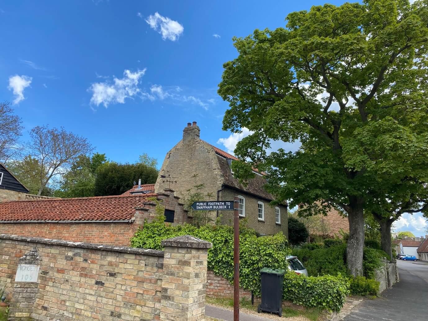
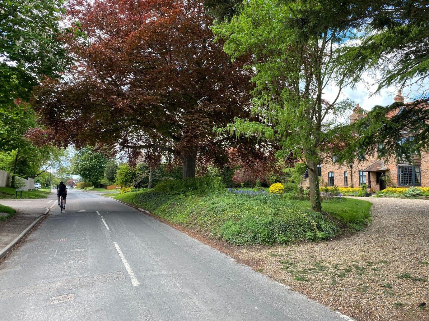
Cambridgeshire is one of the best places in the country to cycle. It is relatively flat and has an extensive walking and cycling network for all ages and abilities to enjoy.
Bottisham, being close to the cycling city of Cambridge, is well served by cycling routes and is on a junction between the National Cycle routes 11 and 51.
Route 51 being East / West and taking in Cambridge and Bury St Edmunds.
Route 11 is North / South taking in Ely and towards Saffron Walden. This, popular route, north from Bottisham runs up through Wicken Fen Nature reserve.
Lodes Way is a 17-mile route from the stunning Wicken Fen Nature Reserve to Bottisham, and it forms part of National Route 11.
Cambridge to Bottisham route follows the River Cam through the city and passes the Museum of Technology in the old Pumping Station, which is well worth a visit. You can continue onto Wicken Fen and Ely if you want to extend the route. On arriving in Bottisham, you can extend the route onto Wicken Fen use the Lodes Way using National Route 11 (9 miles) - there is a short link to this route from Bottisham. You can then keep going on to Ely (9 miles) using the Wicken Fen to Ely route.
https://www.sustrans.org.uk/find-a-route-on-the-national-cycle-network/cambridge-to-bottisham/
All routes have numerous shorter side links into a varied terrain.
There are cycling groups in the village who organise rides of different types and abilities.
Details of the national cycle network routes can be best found on the Sustrans website.
Cambridgeshire County Council produces a map of cycle routes in Cambridge city and connections with surrounding villages, which is updated regularly. You can download/print the map from the County Council’s cycle maps page.
https://www.cambridgeshire.gov.uk/residents/travel-roads-and-parking/cycling/cycle-routes-and-maps
CycleStreets, is an interactive route-planning system whichlets you plan routes from A to B by bike. It is designed by cyclists, for cyclists, and caters for the needs of both confident and less confident cyclists. You can plan a route or contribute to the map data.
Walking and cycling routes change over time. Weather conditions may also affect path surfaces. We have tried to provide you with a varied option of walking and cycling routes here but accept no responsibility for any third-party source information or the accuracy of the maps provided here. Please check the routes before you journey out and use your own judgement when using the routes based upon the weather and the ability, experience and confidence levels of those in your group.
This link will take you to the Cambridgeshire County Council map of public rights of way for the area. Cambridgeshire County Council Public Rights of Way
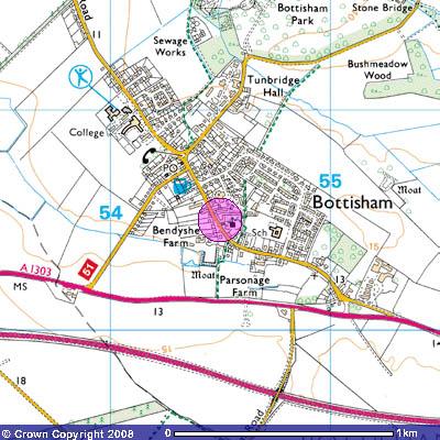
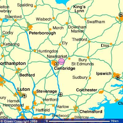
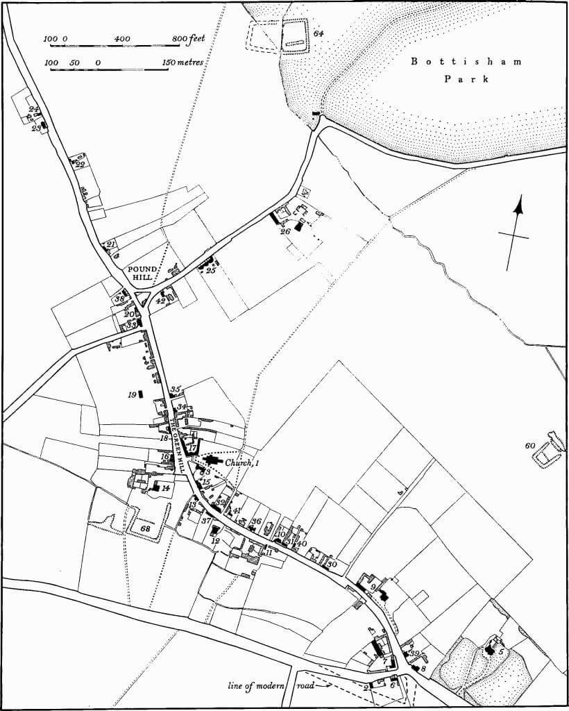
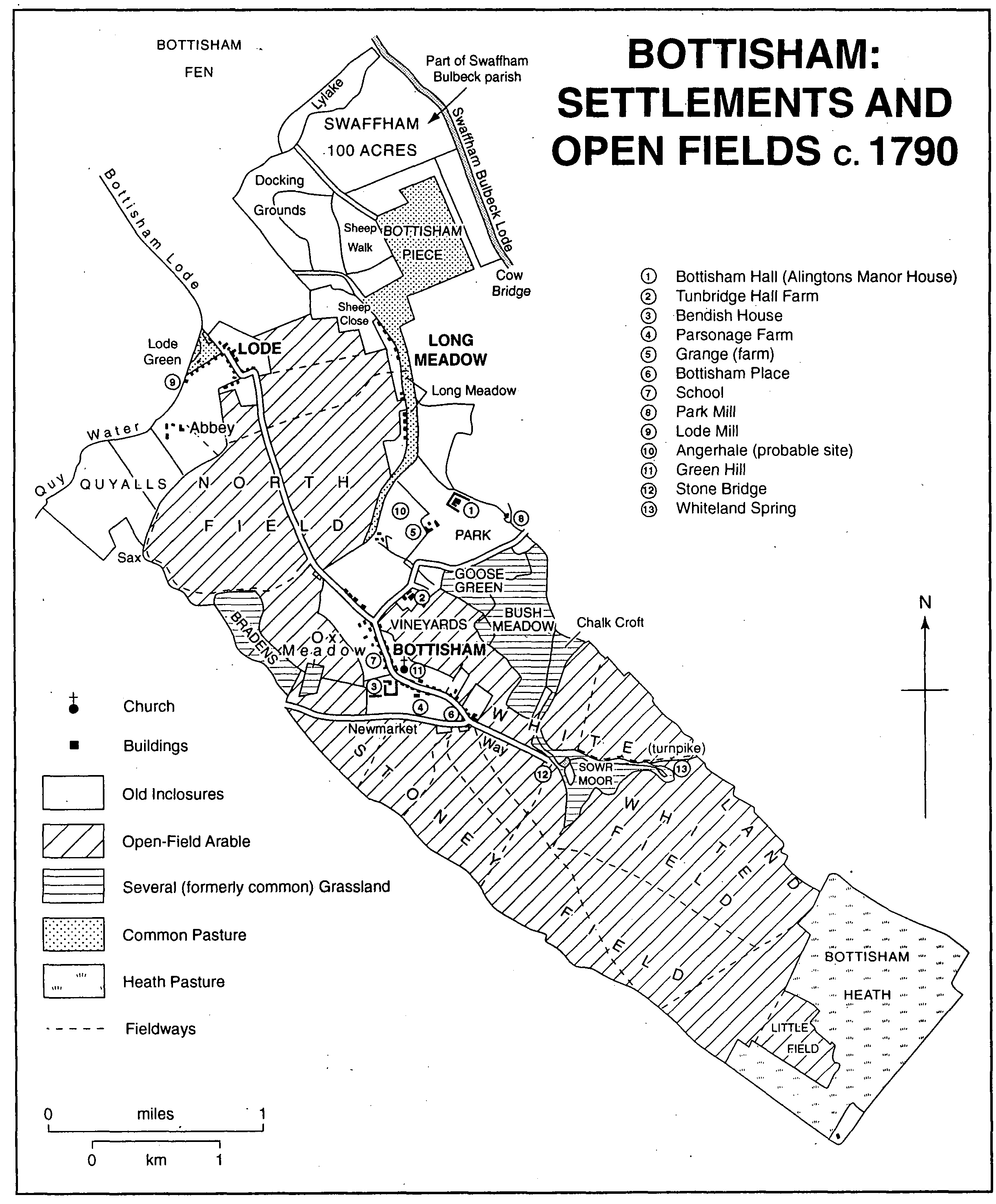
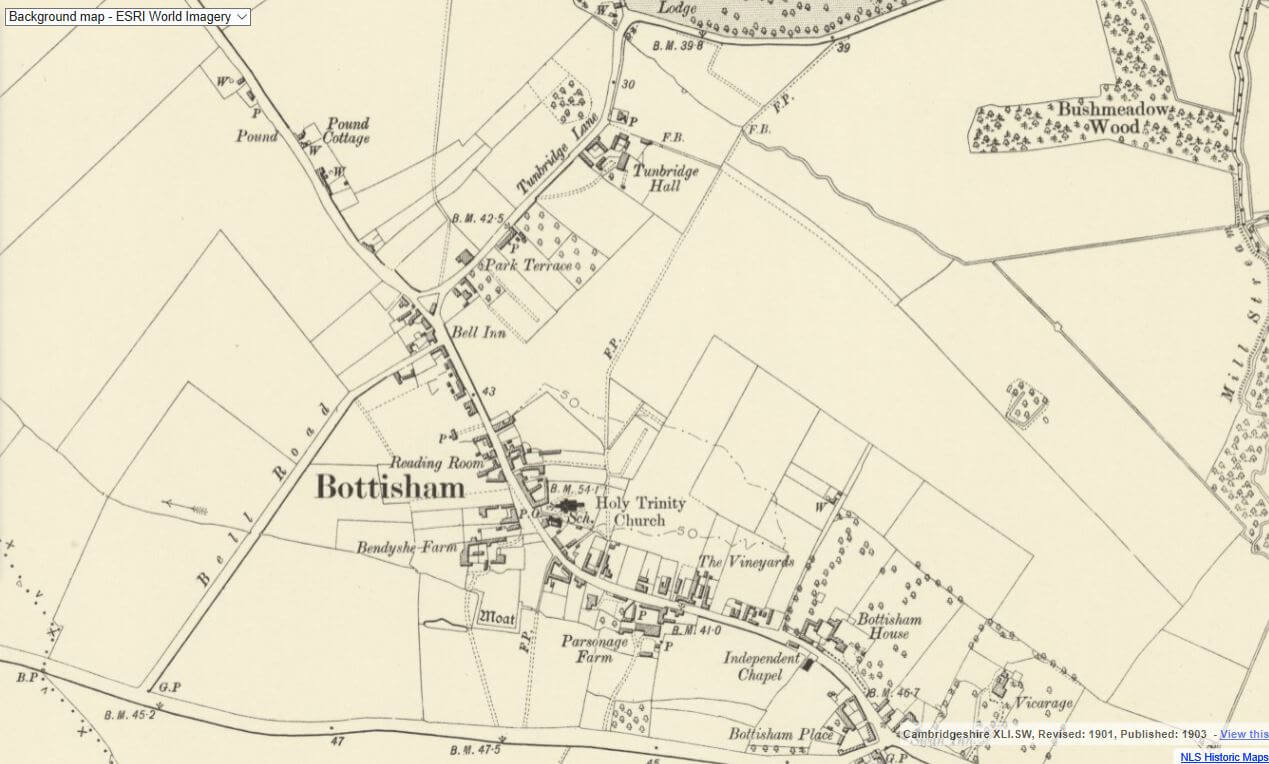
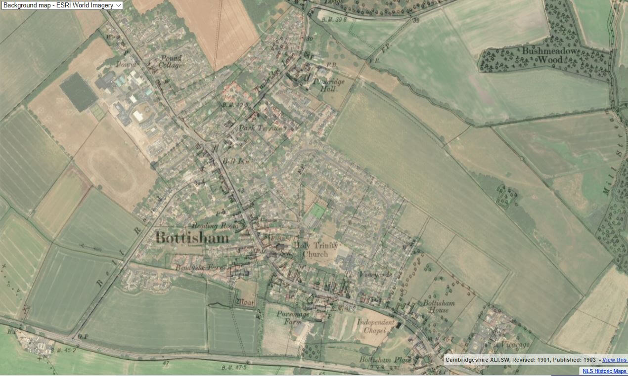
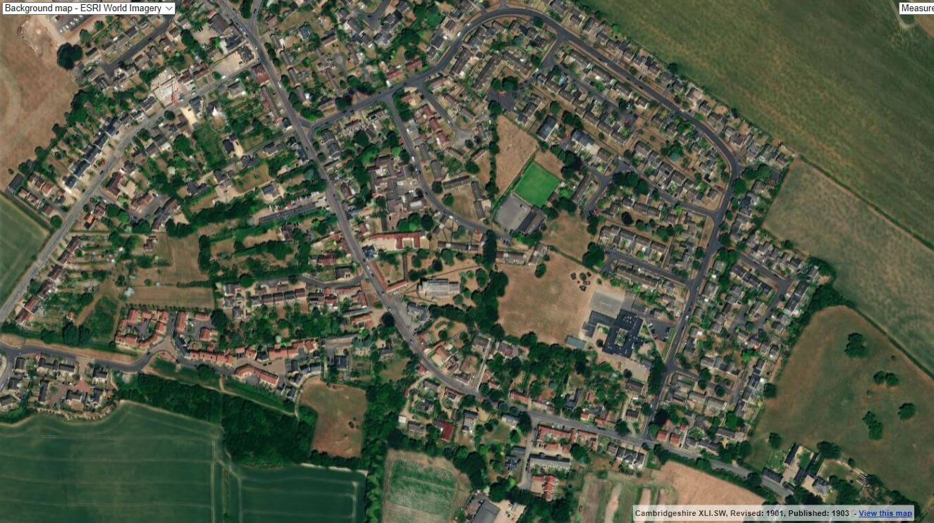
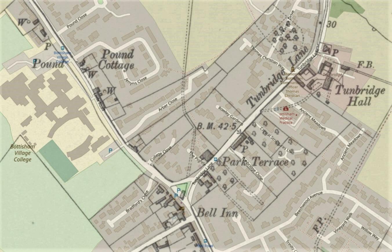
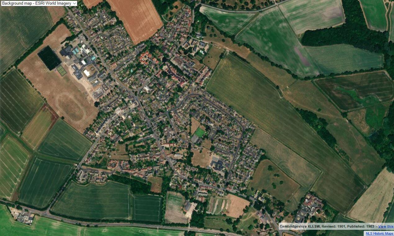
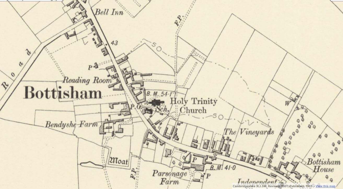
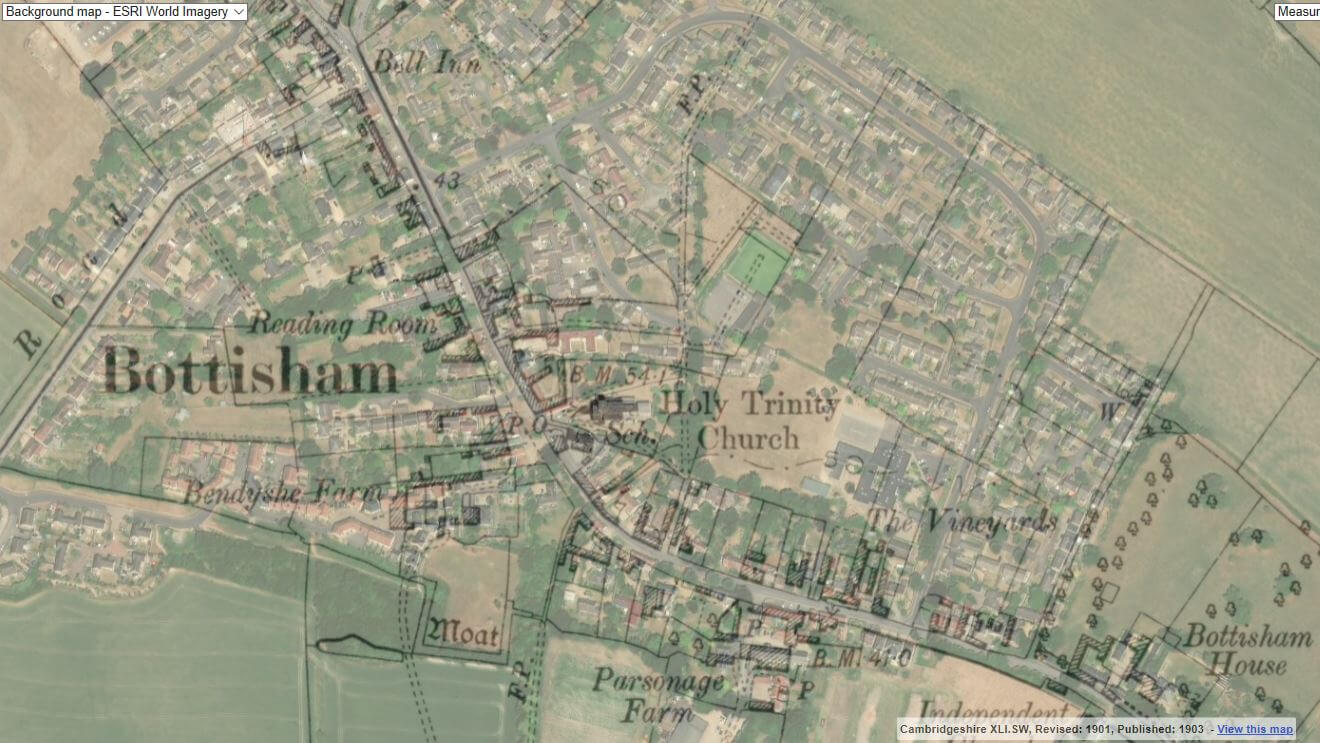
Below you will find maps of Bottisham, our Parish boundaries and the local area. Click on a map to enlarge